|
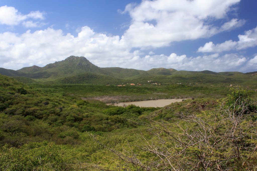 |
| Sint Cristoffel hill | |
| Latitude: N 12°21'18,28" | Longitude: W 69°5'38,71" | Altitude: 34 metres | Location: Seri Bientu | Country: Curaçao | Copyright: Ron Harkink | See map | |
| Total images: 77 | Help | |
|
|
|
| Sint Cristoffel hill | |
| Latitude: N 12°21'18,28" | Longitude: W 69°5'38,71" | Altitude: 34 metres | Location: Seri Bientu | Country: Curaçao | Copyright: Ron Harkink | See map | |
| Total images: 77 | Help | |